Boston, Estate of Massachusetts, United States. March 2013
Team: Ana Vargas.
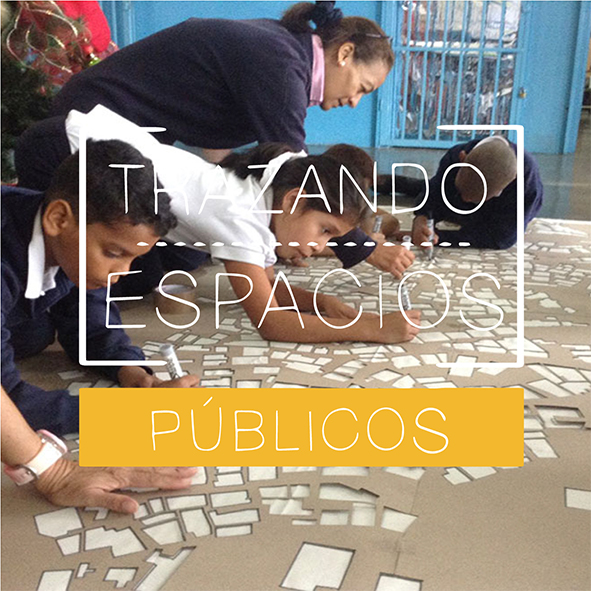
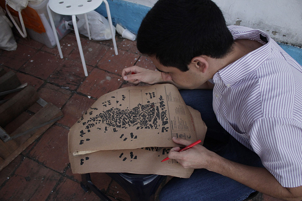
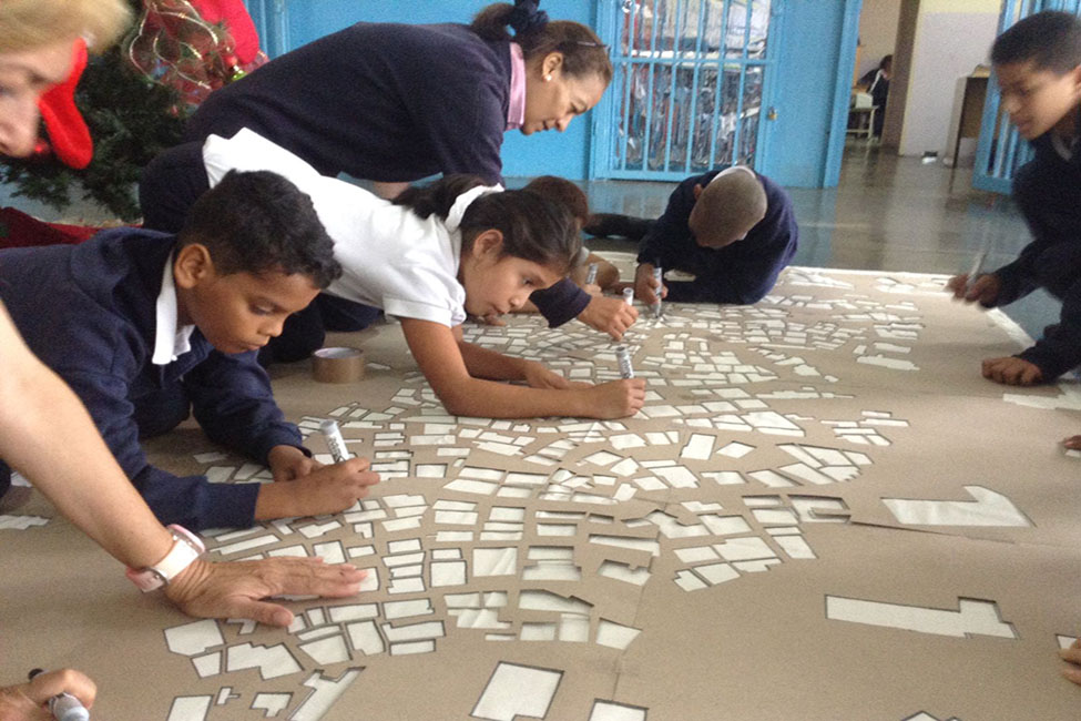
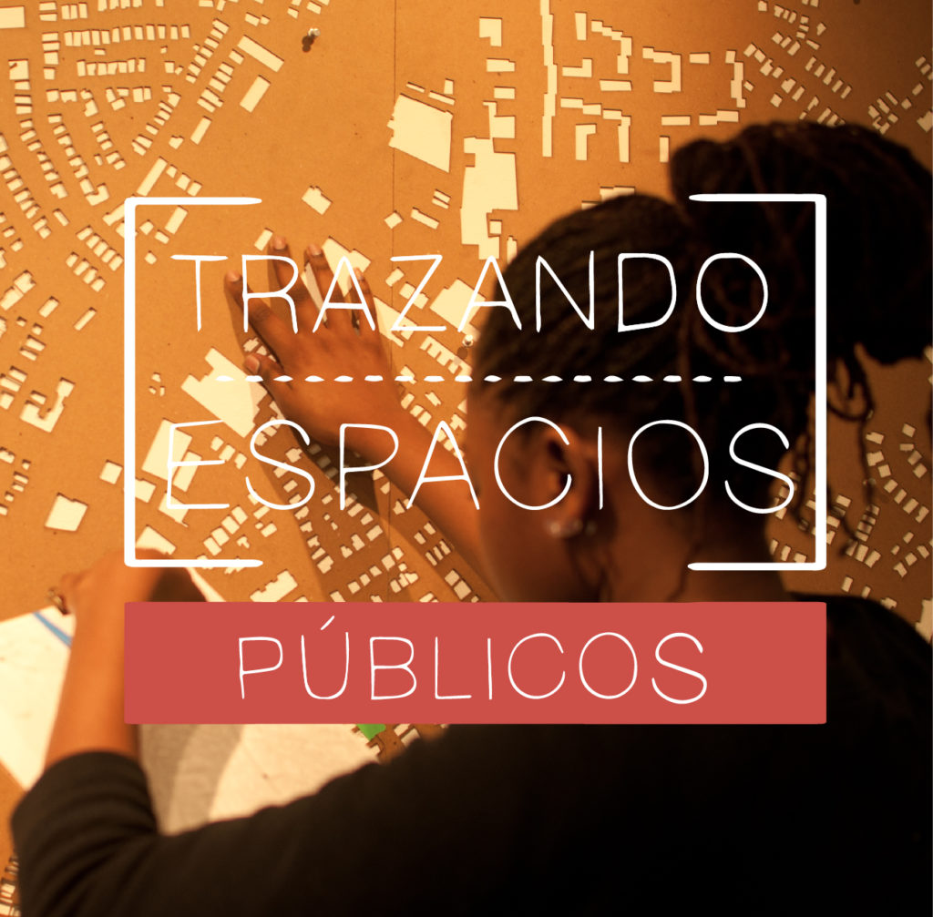
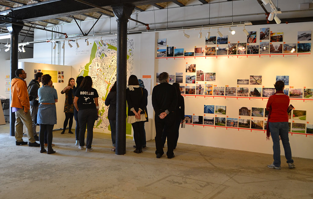
Jamaica Plain was the first location for Tracing Public Space workshops. It was developed with the guidance of Prof. Antoni Muntadas for his Public Space/Public Art Seminar at MIT’s Art, Culture, and Technology (ACT) program. It was developed with The Urbano Project an art institution, led by Stella McGregor, which empowers teenagers to have a voice in their communities through art projects.
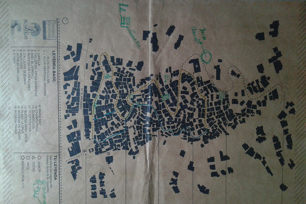
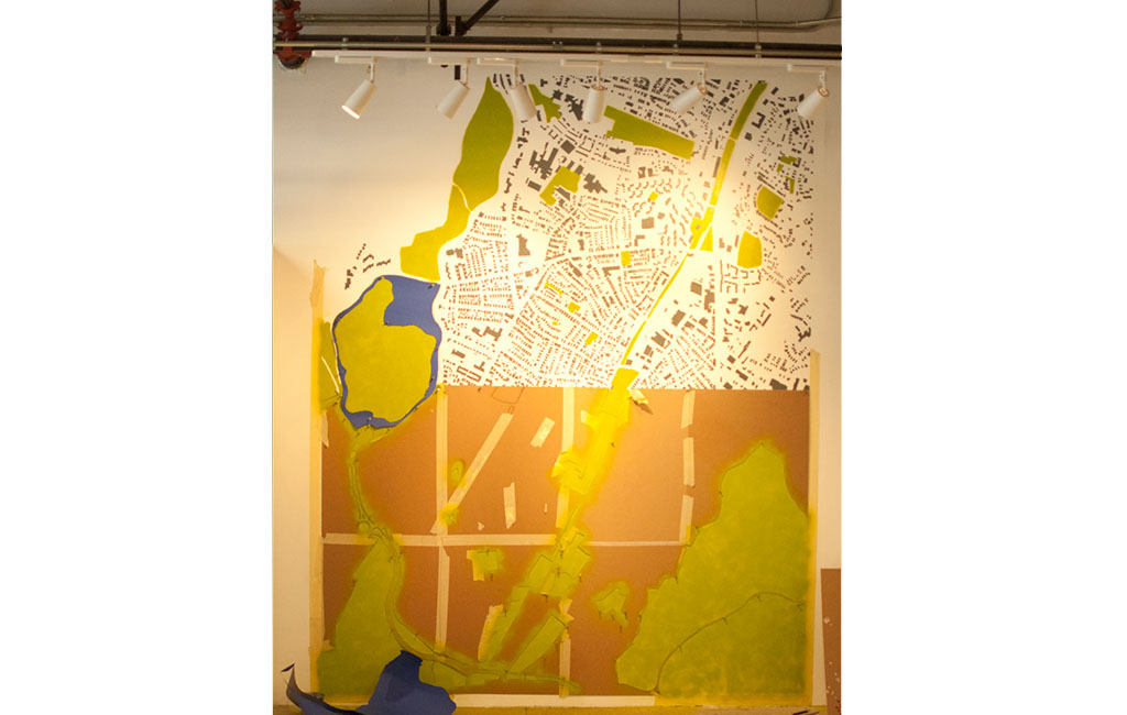
Jamaica Plain, is a neighborhood surrounded by the Emerald Necklace (a network of public parks) and divided by the MBTA’s Orange Line, it is going through a gentrification process that raised a few questions in the workshop. Through this process, are public spaces losing their cultural identities? How can we potentially reconnect isolated parts of the neighborhood by tracing these spaces?
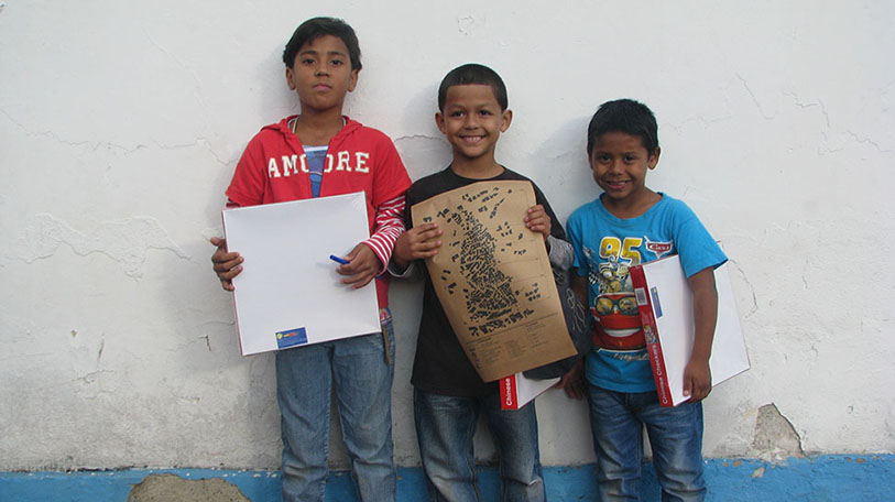
Jamaica Plain has a rich cultural background revealed through the participating children’s photographs of murals, shops, and restaurants. The open spaces and public parks that this neighborhood offers are simultaneously beautiful and diverse. Jamaica Pond, the Arboretum, the Southwest Corridor, and the Zoo provide the neighborhood and the city with a beautiful landscape and more than enough open spaces for leisure activities.
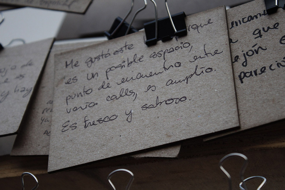
A recurrent idea throughout this workshop was the premise that public spaces are places that everyone has unrestricted access to such as streets and plazas. However, there are other spaces with limited access hours like Laundromats that can serve as public places and offer opportunities to socialize with neighbors. This idea raised a question: do we need to rethink the way we design Laundromats so they are better fitted for social interaction while people do laundry? One of the children mentioned, “It’s amazing how a public space can be made so personal and simultaneously a private space being made so public”.
The workshop shows that everyone has unique personal stories and sense of ownership about public spaces they frequent. To develop this sense of ownership, a personal history with these places typically presents itself through continuous revisits that build personal perception and understanding of them. Through the workshop, participants rediscovered these places and re-learned things about them they never knew existed, building upon and augmenting their existing relationship with these places.